Monthly Archives: July 2017

Sardinia’s Coastal Cities

Sardinia’s coastal cities are well preserved local centers that are well worth a stopover or as a base to explore the surrounding region. Over 10 days, I made it to Cagliari, Alghero, Castelsardo and Bosa. Sardinia has significant airports at Alghero, Olbia and Cagliari, so  you can also access the island that way if you’re intent on flying.

Cagliari

Cagliari is Sardinia’s principal city and a great place to arrive off the overnight ferry – there are direct ferry connections from Sicily and mainland Italy.

fullsizeoutput_cf7

Pilot Boat, Cagliari Harbor

Cagliari’s castello stands out and is the first thing to take a look at. Sardinia has very Celtic tones and in Sardu the city is called Casteddu – Castle – which sounds rather Welsh or Breton to me.

fullsizeoutput_cf3

You have great views from the citadel and it’s worth climbing to the top of the Torre dell’Elefante, one of the city’s remaining two defensive towers.

fullsizeoutput_cf5

Cagliari is a great walking town and while it is Sardinia’s largest city it still has a very approachable and accessible feel.

fullsizeoutput_cf2

The wall art is random and catchy – who doesn’t appreciate a melting Francis Bacon.

fullsizeoutput_cf8

I stayed at the Arcobaleno hotel which was close to the port and was very comfortable. There are plenty of great restaurants in Cagliari, although I would recommend going further afield from the Marina area where they lean a little towards visiting tourists – the Stampace neighborhood and Corso Vittorio Emanuele west of Plaza Venne is worth a look.

Alghero

Alghero ended up being my favorite spot to stay however – balanced on the northwest corner of the island, it faces out to the open Mediterranean and has a clearly set out medieval fortified port town, with a larger suburban town spreading into the hinterland. It definitely gears to visitors but is really well preserved without getting spoiled. The walls are intact along large stretches and overlook the ocean.

fullsizeoutput_ce7

fullsizeoutput_cee

Alghero gets the westerly winds and has plenty of variety in weather.

fullsizeoutput_cef

As with any city in Sardinia, it’s quick to escape into the county. You can rent bikes from Rent a Bike Raggi di Sardegna on Via Maiorca. They also organize longer tours and will recommend itineraries. I got ambitious and decided to head south along the coast road, which had some spectacular views along the way.

fullsizeoutput_cec

fullsizeoutput_ceb

I stayed at the Hotel San Francesco, a former convent, which worked well – just ask to see the bathroom before you take the room as mine was ok but on the small side. Alghero has some good craft brew pubs, including the excellent Birreria San Miquel and L’Altra Vineria. If you’re feeling like a more outdoor cocktail with great accompany snacks, Cafe Latino overlooks the Marina. There are plenty of restaurant options in Alghero and it’s hard to go very wrong.

Castelsardo

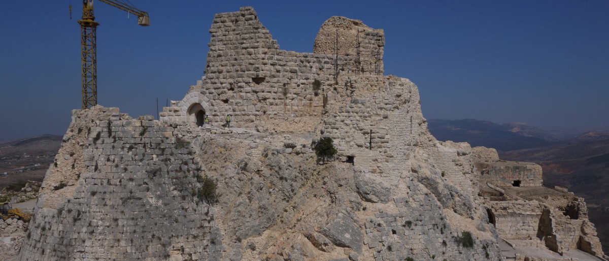
Who came up with Castelsardo? Founded as a stronghold in the 12th century by the Doria family from Genoa, it was also ruled by the Spanish during their period of Mediterranean dominance.

fullsizeoutput_ce9

This would have been a tough nut to crack in terms of medieval siege warfare.

fullsizeoutput_d36

fullsizeoutput_cea

It’s not a big town and after the fort there are some narrow streets and pretty standard suburbs.

fullsizeoutput_d35

Castelsardo can be walked thoroughly in half a day however you are back in the 15th century.

fullsizeoutput_d34

Even if you are passing by, it’s worth a stop to check out the place. The Ristorante Il Bounty is outstanding and their seafood pasta is garlicky, fresh and superb. There are a number of B&Bs in the old town and I stayed at the Colti di Rosa which was very comfortable.

Bosa

I liked Bosa – it’s a relaxed market town located by the Temo River, about 40km south of Alghero. It is slightly inland so has missed out on the beach tourism that has commercialized other Sardinian cities. This is a nice walking town with the obligatory castle on the overlooking hill.

fullsizeoutput_a71

fullsizeoutput_b92


Sardinia’s Peaks and Canyons

Sardinia’s wild and lightly populated interior has outstanding hiking – try out the Gennargentu Mountain Range, just south of Nuoro, where you can hike in the hills or see some spectacular canyons.

Punta La Marmora

The mountains are a short drive south from the city of Nuoro, which is an excellent base for the outdoors.  Punta La Marmora is at 1,834 m and as part of the Gennargentu mountain chain, is the highest peak on the island. Located in the Gennargentu National Park, you can access the trail by driving along the SP7 from Desulo to Fonni, after which you will see signs to Monte Spada and Bruncu Spina (1,819 m).

To reach the trailhead, you continue along the tarmac road to the end (where the road has a traffic barrier – park there), and then walk along the road to where there is a rifugio and ski lift area below Bruncu Spina – here https://goo.gl/maps/E1ysBZNdZHS2. The trailheads (with wooden signs) start from there.

You can hike both peaks in a single half day trip, either starting by hiking up to Monte Bruncu Spina (where there is a meteorological station at the top), or first head southeast for Punta La Marmora. I started with Punta La Marmora and took the trail that ran along the east side of Bruncu Spina (which is to the right in the photo below – Punta La Marmora is the far peak).


Having come round the east side of Bruncu Spina, I reached this intersection marker (about here https://goo.gl/maps/N9S6McsPpN42) and then headed southerly towards Punta La Marmora.

Intersection marker – looking southerly towards Punta La Marmora.

It was a gentle uphill to Punta La Marmora, Sardinia’s highest point. The views are certainly worth the walk and there are very few remnants of winter snow (as of March).

Punta La Marmora – looking east

Punta La Marmora – looking northwest

From Punta La Marmora, I backtracked and then from the intersection marker headed uphill and north along a smaller trail that took me northwest along the ridgeline to Bruncu Spini (below).

Upper trail heading northwest towards Bruncu Spina.

Ridge trail heading northwest to Bruncu Spina.

Bruncu Spina has great views to the north – still some snow hanging around as of March.

Bruncu Spina – looking north

The one drawback to finishing up here is that it’s a steep downhill back to the ski lift station at the Rifugio – basically over a downhill ski area if you go direct. It worked but you had to watch your step in places. This is a great hike that makes for a great day out of Nuoro – or wherever else you overnight.

Gorropu Canyon

Gorropu Canyon (Gola di Gorropu) is one of the deepest canyons in southern Europe, with walls up to 200m above the canyon floor. The trailhead (from the north of the canyon – there is a southern access as well) is located about 14km southwest of Dorgali, exiting the SS125. There is a parking lot located northeast of the trailhead here https://goo.gl/maps/oBGdPFxDdV82 or alternatively you can drive past it over the river bridge and then find a space heading south along the dirt road that runs up to the trailhead.

The hike starts in an open wooded valley as you take a trail south along the west side of the Flumineddu River towards the canyon. This was an out and back hike that took about 4 hours. As you are staying along the valley floor, it’s fairly flat.

You can see Gorropu Canyon form up in the distance with a fairly sheltered dirt trail to take you there.

Closer.

You drop down off the dirt trail into the river floor, where there are plenty of boulders.

You can also approach the canyon from the south where there is parking and accommodation located off the SS125 https://goo.gl/maps/pvv6q7SL6yz