
Armenia has wild and wonderful hiking country that is easily reached from its capital, Yerevan. You can start by heading to the resort town of Dilijan, a 90-minute drive away in the hills north of Lake Sevan, Armenia’s largest lake and the closest thing to a beach destination that a landlocked country has. Many of the hikes combine superb scenery with historical sites not easily accessible to most visitors, along with some substantial elevation changes.

You can plan your hikes and download the trail map using the HIKEArmenia app. HIKEArmenia are a non-profit organization that organize and map out treks of varying difficulty around the country. Check out their website at https://hikearmenia.org and download their app. You can download the trail maps before each hike and use them offline – make sure that your phone is fully charged before heading out!
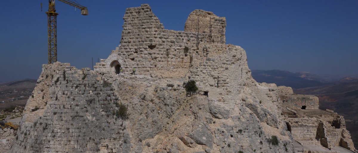
Hike 1: The Jukhtakvank – Matosavank Monasteries Loop. This is a good shorter hike that can be done in 3 or so hours. The app has you start walking from Abovyan Street, which is the main road (and then track) that leads past the mineral water plant to Jukhtakvank from the M8 highway. The monasteries are on different sides of the same river valley, so you get a hilly forested hike with a couple of river crossings thrown in. I started at Jukhtakvank and looped counterclockwise to Matosavank. Both the monasteries were built off trails leading up from the valley floor, amid forests that still stand today.

Jukhtakvank was built around 1200 and became an important religious community centered around its two chapels, one of which, St. Gregory’s, has elaborate wall carvings.

There are cattle grazing in the valley so watch out for them, and make sure to follow the app trail closely as there are multiple trails in the valley. Matosavank, named after St. Matthew, is a larger, L-shaped single building from the 13th century, built into the hillside, with a collapsed cupola off to one side.

At the end of the trail leading down from Matosavank to Abovyan Road, you’ll have to cross the river by a small footbridge. There is a rest area and water point with gushing spring water, topped with a memorial stone.

The trail link is here: https://hikearmenia.org/all-trails/trail/medieval-monasteries-trail You can access the trail start easily by taxi; there as a bus stop at the village on Abovyan Road, or you can simply walk to and from Dilijan which is about 6 km from Jukhtakvank.

Hike 2: Dilijan National Park from Haghartsin Monastery to Jukhtakvank Monastery. This is an all-day approximately 20-kilometer / 6-8 hour hike that takes you along the passes and ridgelines north of Dilijan. https://hikearmenia.org/all-trails/trail/360-dilijan

It’s an A to B hike and the best way to get to the start is a 20-minute taxi ride to Hagartsin from Dilijan. You can absorb the historical vibes around the Hagartsin Monastery complex, which sits at the top of a valley leading up from the Dilijan road. This is a larger complex with five churches or chapels and a refectory, built in the 10th-13th centuries; it’s a popular attraction so an early start is good to avoid the crowds and get going on the hike.

You’ll start up a fire trail that puts the monastery below you in its valley setting. The start point just north of the monastery is signposted for Jukhtakvank, and there are periodic red/white painted markers on rocks. The route is mostly on well-defined walking and vehicle track, but is hard to follow in places, so have the HIKEArmenia trail map downloaded from the app before you set out. Check the weather before you go and prepare for the mountain weather – while you aren’t up around the peaks, dependent upon time of year, you can get weather fronts moving through.

Much of the trail crosses high meadows stretching along the hillsides, interrupted by some climbs over passes. There are a series of small farming communities along the route, often with the herds out grazing the hillsides.


For much of the trail route you can keep the Dilijan area main valley in sight on your left side. As you complete the route into Jukhtakvank, you’ll descend into farmland and forested trails. Watch out for the farm complex about 1 km from the end – the dogs are quite verbally aggressive; although their bark looks to be worse than their bite, and a swing from the daypack keeps them away.

Other Wanderings. The hiking app offers other trails, including short hikes in the forested hills around Dilijan. Another destination hike offered is to start at Lake Parz (get a taxi out there), a popular local destination, and hike back into town. In addition to the fairly small restored old town, there are also other local sights, including an abandoned Soviet-era hotel overlooking the city lake.

Further up the hill overlooking the lake from the south is the abandoned Khanjian Villa (https://goo.gl/maps/xqEzZh2YhNFcNfiM6), built on the orders of Aghasi Khanjian, the First Secretary of the Armenian Communist Party in the 1930s, who allegedly committed suicide on a trip to Moscow in 1936, but was likely assassinated in a power struggle or as part of the purges of the time. Opened in 1937, the villa was later used as a government rest house but left to ruin after the collapse of the Soviet Union. The google map location is best accessed on foot via Maxim Gorky Street – the main road that heads south out of Dilijan – and taking the second road on the right after you go past the lake.

Logistics. Dilijan is a very walkable town that is used to accommodating travelers, and has good B&B and catering options. There is a lower town based around the main roundabout (where the bus stop is), and an upper town that has a traditional restored old town area along Sharembayan Street, and the main commercial center further east.

I stayed at the Toon Armeni Guesthouse (Kamarini 4) which overlooked the upper town center, and was a 5-10 minute walk from most of Dilijan – pleasant simple rooms with a porch, a view over the valley and a good breakfast to set you up for a day’s walkabout.

You can move independently to/from Dilijan without needing a hire car. Minibuses depart to and from Dilijan center via the Yerevan North Bus Station and timings are online at the excellent https://t-armenia.com/en website. Alternatively, you can get a taxi one-way from central Yerevan for about $20. I used the YandexGo app, which was excellent for taxi rides of any distance, including around Dilijan. The app won’t take US/European credit cards, so you just pay the quoted cash amount. There are plenty of good restaurants in town – Haykanoush (Sharambeyan Street), run by the Tufenkian Foundation, is a good traditional bet, and the Kchuch Restaurant (Myasnikyan 37) has traditional Armenian stews and barbeque as well as pizza. The Carahunge Cafe (Kalinini 25) has a good Armenian menu and is one of the few places in town that’s also set up more as a bar/cafe.

A good local post-hike amenity is the Russian-style beer stand (look for the “пиво” sign) located close to the Mimino character statues (after the popular Soviet-era movie that had Armenian and Georgian lead characters) on the west side of the main roundabout. The staff are very friendly and while they usually sell in 1-liter containers for takeout, if you want to get some glasses to take to sit by the nearby boating lake, just ask. They have a range of typical Armenian lagers – Gyumri being the highest quality, as well as the excellent range of Dargett craft beers.